
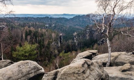
AT – Rundtour (7/2017) Touren
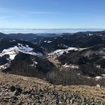
Wanderung über den Trattberggipfel zur Wimmeralm (Rundtour)
Gesamtstrecke: 5.63 km
Maximale Höhe: 1757 m
Minimale Höhe: 1419 m
Gesamtanstieg: 373 m
Gesamtabstieg: -379 m
Gesamtzeit: 04:00:00
Download file: 2017-07-21_wanderung-trattberg-und-wimmer-alm_export.gpx
Maximale Höhe: 1757 m
Minimale Höhe: 1419 m
Gesamtanstieg: 373 m
Gesamtabstieg: -379 m
Gesamtzeit: 04:00:00
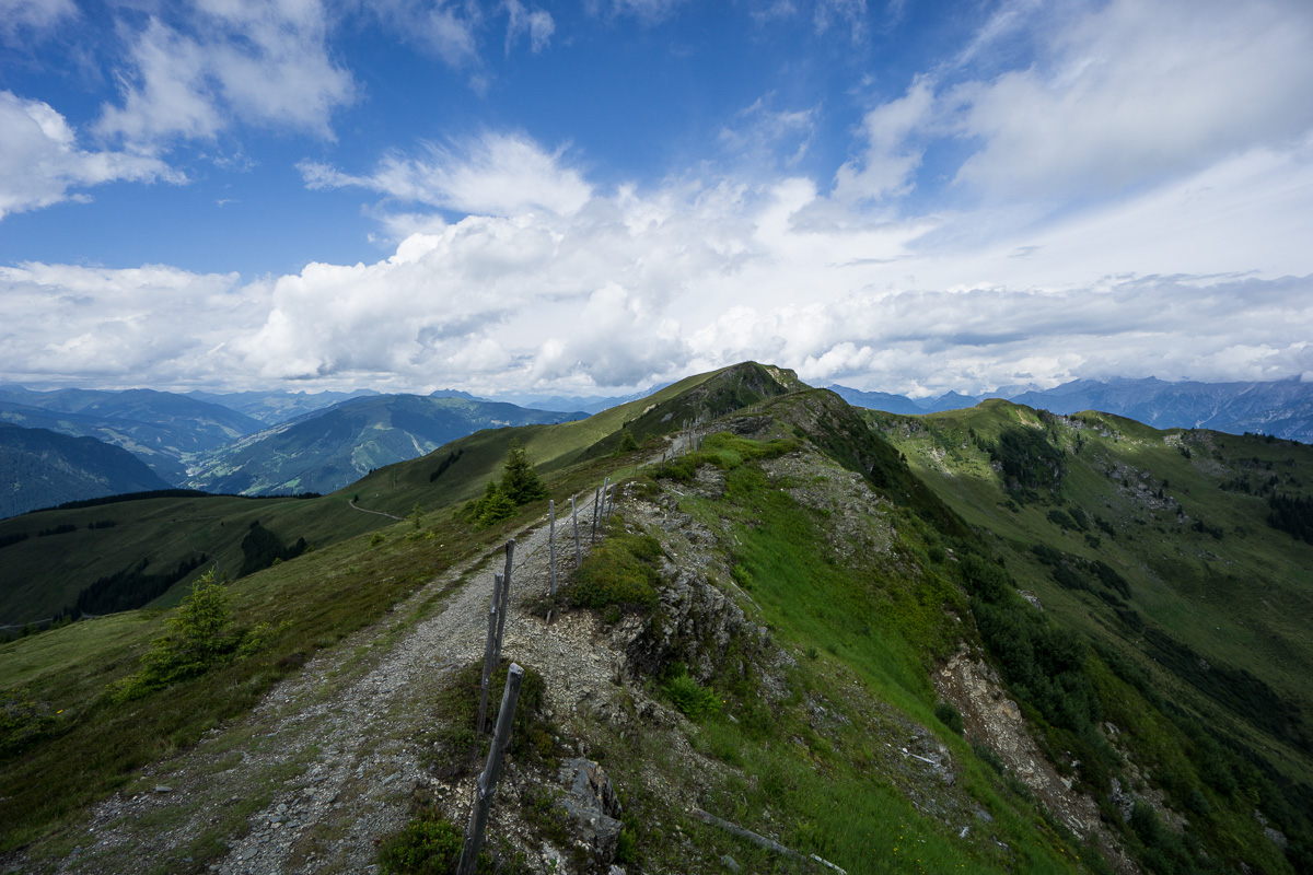
Wanderung vom Gasthof Mitterberg zur Schwalbenwand, zum Schönwieskopf und über die Schützinger-Alm zurück (Rundtour)
Gesamtstrecke: 15.97 km
Maximale Höhe: 2016 m
Minimale Höhe: 1214 m
Gesamtanstieg: 971 m
Gesamtabstieg: -955 m
Gesamtzeit: 07:04:24
Download file: 2017-07-23_wanderung-schwalbenwand-schoenwieskopf-von-gasthof-mitterberg_export.gpx
Maximale Höhe: 2016 m
Minimale Höhe: 1214 m
Gesamtanstieg: 971 m
Gesamtabstieg: -955 m
Gesamtzeit: 07:04:24
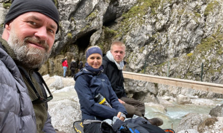
Wanderung Bärenschützklamm (Rundtour)
Gesamtstrecke: 12.99 km
Maximale Höhe: 1218 m
Minimale Höhe: 477 m
Gesamtanstieg: 1296 m
Gesamtabstieg: -1302 m
Gesamtzeit: 05:11:53
Download file: 2017-07-26_wanderung-baerenschuetzklamm_export.gpx
Maximale Höhe: 1218 m
Minimale Höhe: 477 m
Gesamtanstieg: 1296 m
Gesamtabstieg: -1302 m
Gesamtzeit: 05:11:53
Wanderung zum Zirbitzkogel (Rundtour)
Gesamtstrecke: 13.52 km
Maximale Höhe: 2400 m
Minimale Höhe: 1612 m
Gesamtanstieg: 908 m
Gesamtabstieg: -916 m
Gesamtzeit: 07:36:13
Download file: 2017-07-27_wanderung-zur-zirbitzkogel_export.gpx
Maximale Höhe: 2400 m
Minimale Höhe: 1612 m
Gesamtanstieg: 908 m
Gesamtabstieg: -916 m
Gesamtzeit: 07:36:13
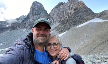
Wanderung von der Edelweißspitze zum Baumgartlkopf und zurück (Rundtour)
Gesamtstrecke: 4.71 km
Maximale Höhe: 2623 m
Minimale Höhe: 2482 m
Gesamtanstieg: 415 m
Gesamtabstieg: -419 m
Gesamtzeit: 03:04:58
Download file: 2017-07-30_wanderung-zum-baumgaertlkopf_export.gpx putty
Maximale Höhe: 2623 m
Minimale Höhe: 2482 m
Gesamtanstieg: 415 m
Gesamtabstieg: -419 m
Gesamtzeit: 03:04:58